In comparison to manual editing, database-aided production of travel guides, catalogues, and real estate exposés facilitates a significant cost reduction for the initial production and all following production.
With the mapz.com Print API, you can automatically retrieve high resolution maps in the PNG, JPG, layered PSD and editable Vector-PDF file formats and easily integrate them into any workflow.
The retrieved map material is the most up-to-date version available. All subsequent products will retrieve an updated map on the fly – just by using the same parameters once again. If your POI database changed in the meantime, the POIs will be updated automatically as well.
In order to use the Print function, you'll need an API Key, which will enable you to retrieve high-resolution data by command line. We can gladly provide you with a demo key for testing purposes. Just send us a short message and we'll get back to you.
The Print-API processes requests up to a measurement of 30000 x 30000 pixels, which corresponds to a dimension of 190.5 x 190.5 cm with a 400 dpi. Our system can process larger sizes. Please contact us to find out how.
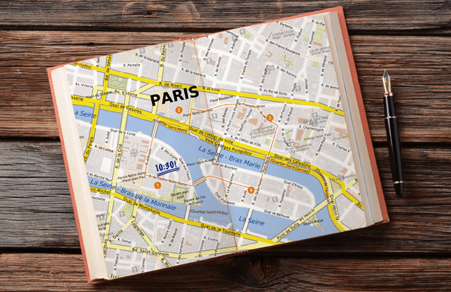
Retrieval of a map section in 297 x 210 mm, PNG file format with 400 dpi, with a center lat/lon coordinate and zoom level.
https://www.mapz.com/print/v1/apikey-xxxxxxxx/print?layer=mapz_multicolor_base&format=png&height=210&width=297¢er=13.38861%2C52.51692&level=16&dpi=400
→ Download the called PNG file.
The same thing in Vector-PDF format. Additionally, we are transferring a GEOJSON file, which will plot a tinted object on the map.
curl -H "Content-Type: application/json" -X POST -sd @traidefair_cologne.geojson "https://www.mapz.com/print/v1/apikey-xxxxxxxx/print?layer=mapz_shades_of_gray&format=pdf&height=210&width=297¢er=6.9795%2C50.9455&level=15&dpi=400" > api-example-geojson.pdf
Instead of a center point lon/lat coordinate, you could use the target area. In this case, the Print API would determine the appropriate zoom level based on the paper dimensions.
https://www.mapz.com/print/v1/apikey-xxxxxxxx/print?layer=mapz_shades_of_gray&format=png&height=210&width=297&bbox=2.2606%2C39.2480%2C3.6041%2C39.9797&dpi=400
format= The output image file type: png, jpeg, psd (layered Photoshop file) or pdf (vector)
layer= The specification of the map design to be used
width= Width of the target image in millimeters
height= Height of the target image in millimeters
dpi= resolution of the map in dpi: 100, 200, 300, or 400
advanced_scale=true Allow advanced scaling of the map (only with bbox)
level= map zoom level 0-20
bbox= Bounding box of the target image in WGS 84 (World Geodetic System) e.g. -180,-85,180,85
center: Map center point in WGS 84 (World Geodetic System) e.g. 6.94997, 50.93815
scale= Scale, for example 10000 for 1:10.000
width + height + center + level or scale
width + height + bbox with or without advanced_scale=true